Israel defends fake Lebanon military buildup map as Hezbollah’s ‘war crime illustration’
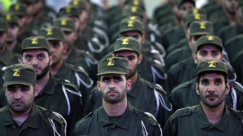
A “declassified” map of an alleged Hezbollah military buildup in southern Lebanon shared by the Israel Defense Forces (IDF) has been exposed by Twitter users as a fake, forcing the IDF to admit the picture was just a “visual illustration” of the militant group’s “war crimes.”
The map titled “Declassified map of Hezbollah’s military infrastructure in Lebanon” was posted on the official IDF Twitter account on Tuesday, highlighting 85 towns and villages in the southern part of the country.
Spots, showing civilian settlements were surrounded by numerous multicolored dots, labeled with names such as “weapon warehouse” or “rocket launcher” and other military facilities.
The tagline of the image said “Hezbollah’s hiding behind Lebanon’s civilians,” while the tweet’s caption was the simple and rather dramatic statement, “this is a war crime.”
This is a war crime. pic.twitter.com/CPE3XS1Xs0
— IDF (@IDFSpokesperson) 6 декабря 2016 г.
Such a level of detail and awareness of alleged Hezbollah activities would be truly impressive, if the map had not turned out to be a fake. Some Twitter users pointed out that it was unlikely the image was a “declassified map,” since its history showed that it had been created using Google Maps via an IDF spokesperson account. The dots, marking the alleged “military buildup,” even featured a repetitive pattern.
That "Declassified Map of Hezbollah's Infrastructure" is fake. Go ahead, see if you can discern repetitive patterns https://t.co/iiE08dMCZl
— Judge Dan (@JudgeDan48) 8 декабря 2016 г.
IDF later said the map had been an “illustration,” and users simply misinterpreted it as a piece of declassified intelligence. The map’s title, tagline and caption were presumably “illustrative” too.
“The illustration reflects how Hezbollah has positioned its terrorist infrastructure within the civilian arena,” the spokesperson told The Times of Israel.
The map, despite its ”illustrative” nature, has been shown to almost every foreign diplomat visiting Israel, to demonstrate that while Hezbollah participates in the Syrian civil war, it continues preparations for conflict with Israel and hides among civilians located near the border, according to a Channel 2 report.
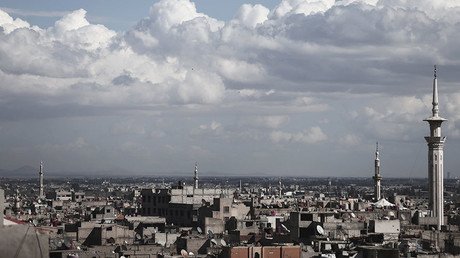
Israel has attacked targets allegedly linked to Hezbollah in neighboring countries, mainly in Syria. The most recent incident of this kind reportedly happened on Wednesday, when Israeli rockets hit the Mezzeh military airport near Damascus.
Israeli Defense Minister Avigdor Lieberman commented on the issue at a meeting with European Union envoys in Israel Wednesday.
“We are first and foremost making efforts to maintain the security of our citizens and protect our sovereignty, and trying to prevent the smuggling of sophisticated weapons, military equipment and weapons of mass destruction from Syria to Hezbollah,” Lieberman said.
Israeli Prime Minister Benjamin Netanyahu in April also admitted multiple strikes on targets in Syria in order to prevent Hezbollah from obtaining “game-changing” weaponry.