NASA tool pinpoints exactly which cities will flood & by how much
NASA has unveiled a new tool that provides the world’s most accurate map of sea-level rises caused by climate change. It predicts flood risks along coastal areas, identifying which glaciers threaten specific urban areas and be should monitored closely.
There are three factors that influence the pattern of sea-level change across the globe: gravity, expansion of the ground beneath newly-melted ice and the Earth's rotation. As climate change impacts glaciers across the globe, the reduction in the ice mass on land changes the distribution of water, allowing the newly exposed land to expand vertically, further affecting tidal flows.
The melting results in spatial patterns, dubbed sea-level fingerprints, that NASA’s Jet Propulsion Laboratory has been monitoring for years and has now compiled into an online, interactive tool. The tool uses mathematical modeling to more accurately predict changes in sea-level fingerprints using the thickness of ice in the world's ice drainage systems.
In the Northern Hemisphere, ecosystems wake in the spring, taking in carbon dioxide and exhaling oxygen as they sprout leaves. pic.twitter.com/sulo0lbyAY
— NASA Earth (@NASAEarth) November 13, 2017
As sea levels ebb and flow, this, in turn, impacts the Earth's spin, further shifting sea levels and initiating greater meltwater flooding in areas which would not otherwise have experienced dramatic sea level rise in such a short space of time. The JPL’s most up-to-date findings were published online Wednesday in Science Advances.
In the study, entitled ‘Should coastal planners have concern over where land ice is melting?,’ NASA highlights that forecasting technology for future ice melts is still underdeveloped but is improving all the time, especially as satellite imaging and measuring technology improves.
Using ice thickness measurements from glaciers around the world dating back as far as 2003, the team has provided one of the most accurate flood early-warning systems in human history.
Mysterious #Antarctic heat source melting ice sheet from within https://t.co/iN22opn540
— RT (@RT_com) November 9, 2017
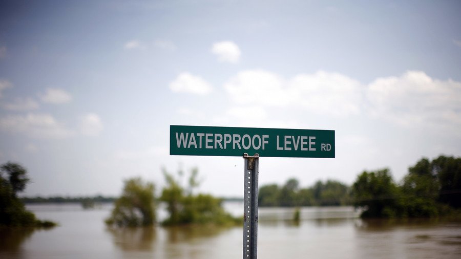
For context, under certain scenarios, melting in the West Antarctic Ice Sheet would yield a sea-level inundation of roughly 25 percent above the global average, which would prove catastrophic for both seaboards of North America and decimate cities such as New York, Vancouver, Boston and Los Angeles, to name but a few.
It’s still extremely difficult to measure and predict the impact of the destruction of the land-based cryosphere which hampers efforts at improving policy-making on climate change.
The JPL team hopes this new tool will provide improved visibility on the extent of climate change and its impact on coastal population centers around the world.