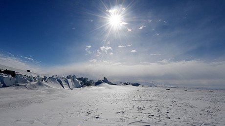
Rising seas will displace 150 million people by 2100, says climate report
Lands inhabited by more than 150 million people could be submerged in water by the end of this century. That’s according to the latest projections from a group of US researchers.
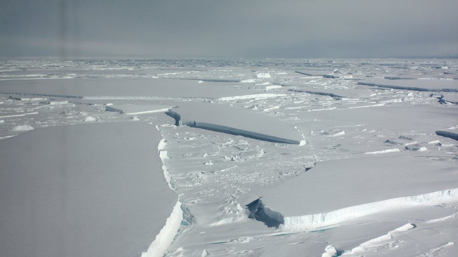
A new study published in the journal Earth’s Future used the latest information from the Antarctic ice sheet and combined it with existing models on the expected rise in sea levels.
The academics behind the report found that if levels of greenhouse gas emission remain high, the median global average sea-level rise could be 4ft 9ins (1.5 meters) by 2100. Astonishingly, this is double the estimate of 2ft 5ins (736cm) projected by the UN Intergovernmental Panel on Climate Change (IPCC) in 2014.
The team, made up of researchers from the top universities in the US, believes the IPCC report did not account for the collapse of large parts of the Antarctic Ice Sheet – something a slew of scientific papers have since found is very likely to happen. In the event of such a sea level rise, some 153 million will be displaced, a population equivalent to half the size of the US.
A study published in 2015 found that a relatively small amount of melting over a few decades could lead to the fall of the entire ice sheet and increase global sea levels by as much as 3 meters. Despite the “deeply uncertain physics,” researchers believe cuts to greenhouse gas emissions over the next several years could significantly reduce the possibility of a disaster after 2050. The team estimates that by this time the sea level will have risen by around 1ft (30cm).
Researchers from several institutions, including Rutgers University, Princeton and Harvard, worked with Climate Central to create an interactive map which illustrates sea level projections in cities across the globe. The map provides projections that both include and exclude the new Antarctic research.
Local rises would vary from region to region under the same scenario and would exceed the global average for all US Gulf and Atlantic coast locations, according to the report.
The study ‘Evolving Understanding of Antarctic Ice-Sheet Physics and Ambiguity in Probabilistic Sea-Level Projections’ is the first to integrate Antarctic models into sea-level projections.
READ MORE: Larsen B part 2? Monster iceberg drifts further from Antarctic shelf (SATELLITE IMAGES)